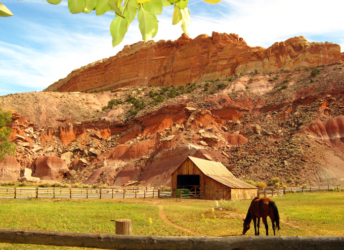
Abruptly, at the Visitor Center, it seemed we had wandered into an agricultural zone ladened with cottonwoods and fruit trees:
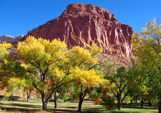
In the 1880’s, Mormon pioneers planted orchards in Fruita and many of those trees still bear fruit, though none are harvested commercially. Visitors today are free to pick the fruit in season, choosing from apple, apricot, peach, pear, plum and nut trees. There is no charge for any fruit eaten in the orchards although an honesty box faces anyone carrying fruit away. Unfortunately, we were too late to harvest anything except photographs.
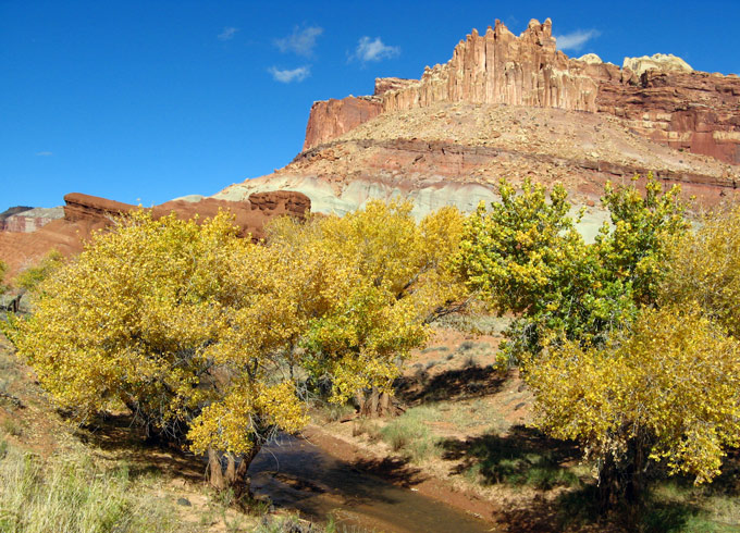
[A revealing 360 deg panorama of this same creek --- apparently taken while standing in the water --- is from Martin van Hemert’s website at http://www.utah3d.net.]
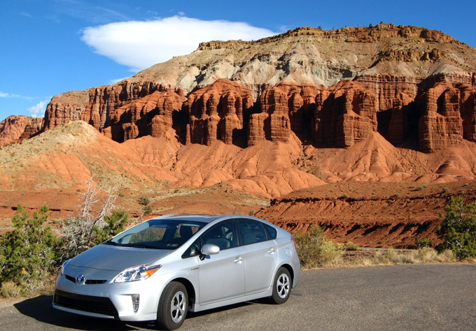
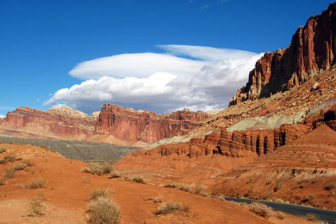
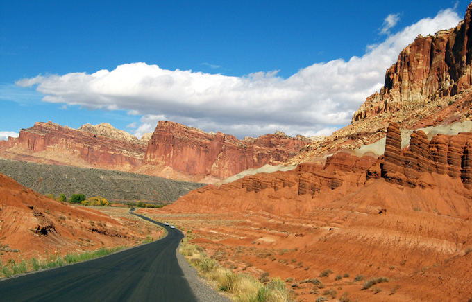
The main attraction for most Park visitors is the 10 mile long Scenic Drive into the heart of Capitol Reef. On this bright and sunny day, dramatic clouds added just the right touch of mystery:
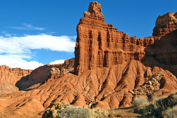
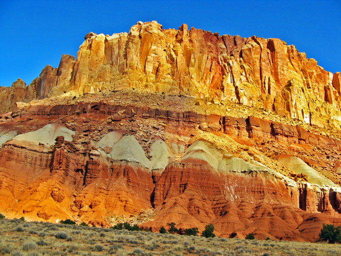
At the 10 mile mark, the road loses its blacktop and branches left and right. This branch leads to the Golden Throne, coyly peeking out in the distance:
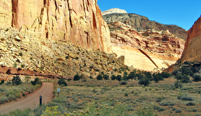
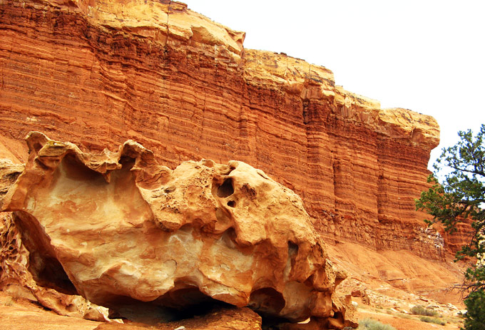
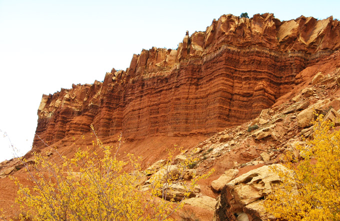
Returning at a slower pace, we paid more attention to the reddish-brown layers near the road that were distinctively different from layers stacked higher up. Presumably, these lower shale layers were formed from silt and clay that came to rest in the quiet waters of lagoons, mud flats, and coastal flood plains. Note the light-colored rocks on top that have fallen from their lofty perch:
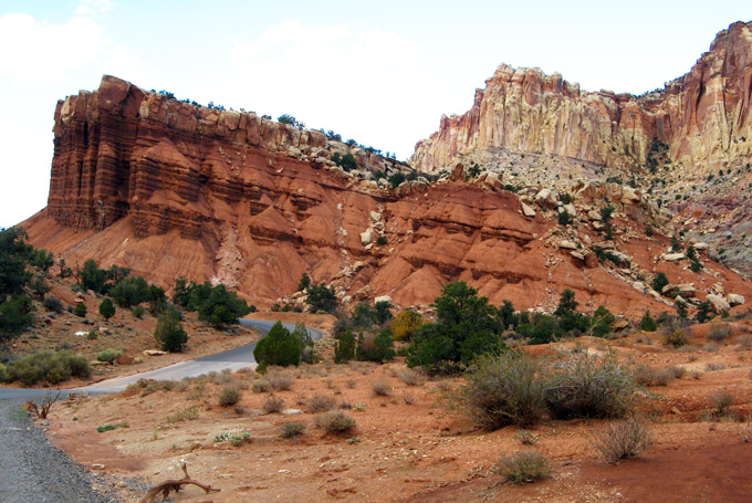
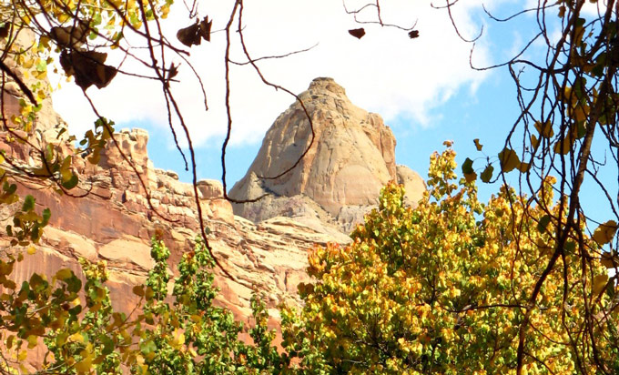
Back in Fruita, we took a walk after lunch on the Fremont River Trail but seldom saw the River, so well hidden was it. Even the rock outcrops overhead were camouflaged by trees:
[Martin van Hemert’s website at http://www.utah3d.net demonstrates that sections of this little river pass through very rugged terrain. The proof is in this panorama. (If no picture, zooming may help.)]
Close to the trail are picnic and camp grounds, a small amphitheater and the Gifford House, the home of the last residents to leave Fruita in 1969. This final Capitol Reef photo, taken at the Gifford homestead, evokes a tranquil way of life that was born, blossomed and faded in just a few short decades:
