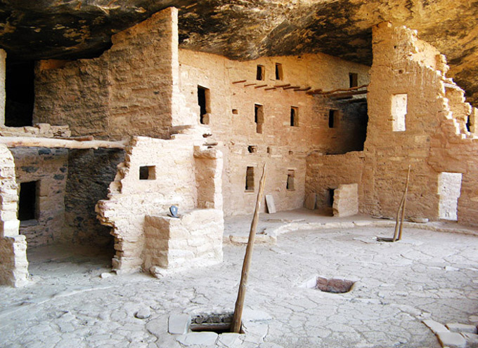
Spruce Tree House is the best preserved of all the cliff dwellings and not hard to reach. It is neatly tucked into a sandstone cavity:
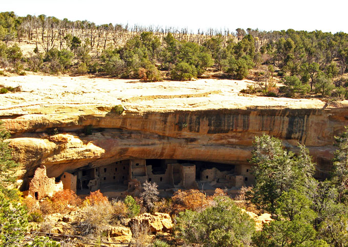
According to archaeologists, these dwellings were occupied from about 1200 to 1300 AD:
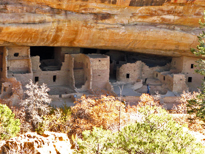
Smoke-blackened walls and ceilings bespeak the fires needed for cooking and for heat:
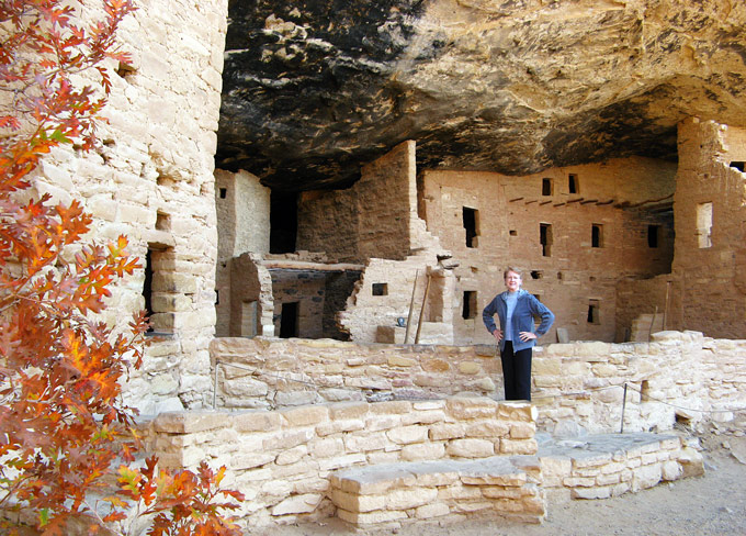
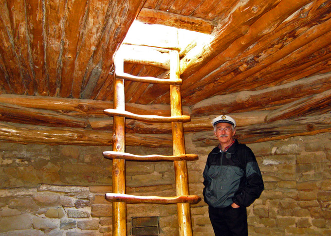
The village housed 60 - 90 people in 129 rooms. There were also 8 kivas, underground rooms reached by ladders:
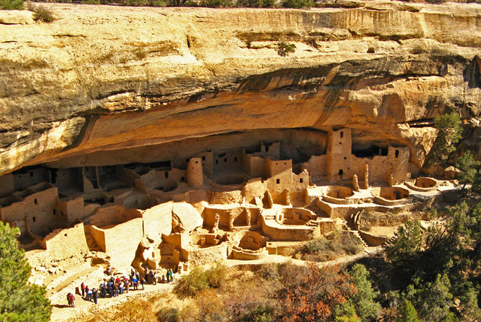
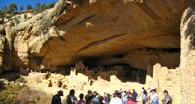
Cliff Palace is more challenging to reach and to return from. It is accessible only by ranger-led tours. This was the largest of the cliff dwellings with 150 rooms and 23 kivas:
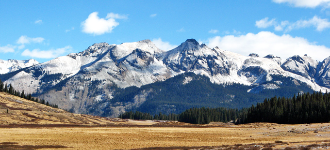
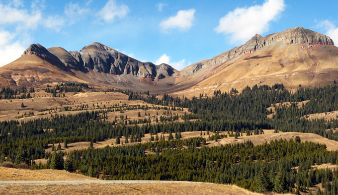
It could have been a short hop from Cortez to Durango, our next overnight stop. Instead, we chose the scenic route. Telluride is famous for its fall foliage and the “Million Dollar Highway”, US 550, is dazzling. Both can be experienced on a 4 or 5 hour drive from Cortez to Durango:
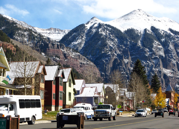
Tucked into a box canyon and surrounded by lofty peaks, Telluride has an enviable location. Sadly, by the time we arrived, the fall foliage we had hoped to enjoy was mostly at ground level. Free parking is hard to find in this popular, squeezed-in town but we found it as well as good food. Fall colors will have to await our return:
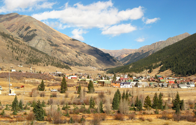
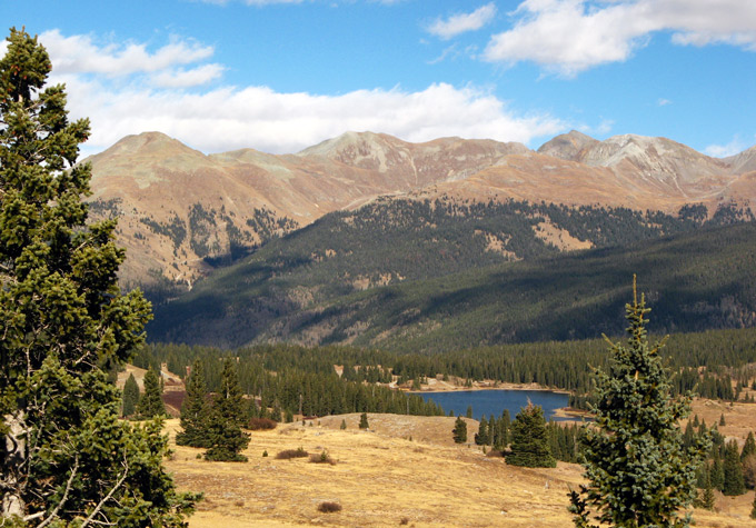
While the origin of the name, “Million Dollar Highway”, is disputed, there is no question about its grandeur. In particular, the stretch from Ouray to Silverton is characterized by steep cliffs, narrow lanes, hairpin turns and substantial dropoffs. If driven slowly and carefully, though, its beauty is easy to appreciate.
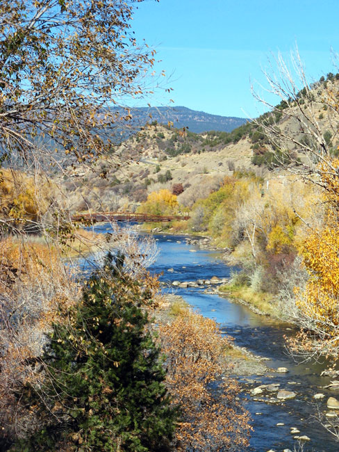
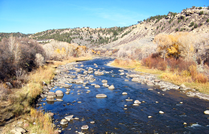
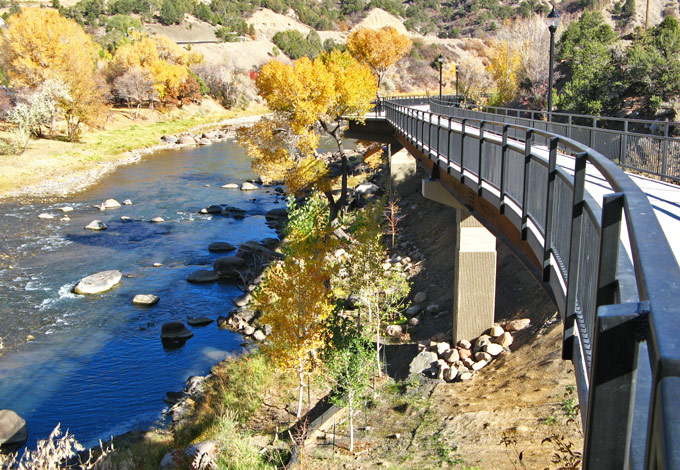
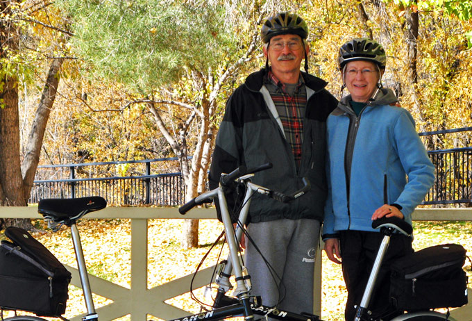
Why Durango? For us, it was biking. The Animas River Trail follows its namesake from one end of Durango to the other:
Outside Alamosa is Great Sand Dunes National Park, a place neither of us had ever seen before. The mountain range in the background, Sangre de Cristo, wraps around the Park with a dozen peaks having elevations between 11,000 and 14,000 feet. In fact, they are why the dunes are here:
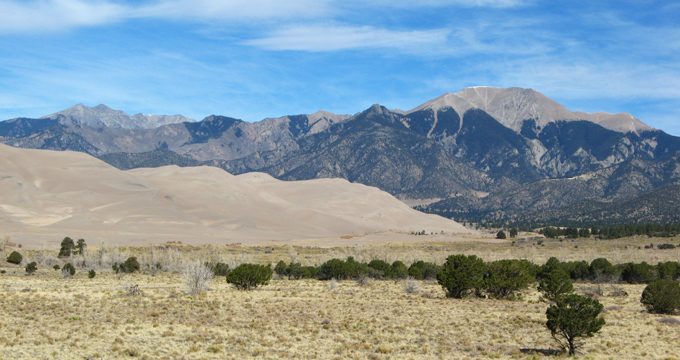
The most persistent winds in this area are southwesterly. Tiny grains of sand have been carried by the wind to the northeast, bit by bit over centuries, until, encountering these mountains, they simply piled up.
Beautifully sculpted, the dunes are the highest in North America, rising about 750 ft above their base:
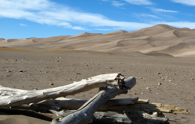
Naturally, one popular activity in the Park is scrambling up the dunes. It is no small feat to reach the top though:
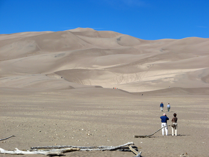
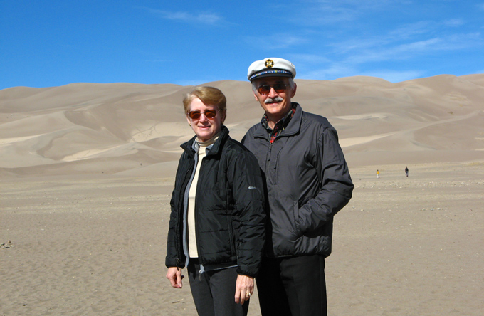
Other Park activities --- perhaps not readily apparent --- are hiking and backpacking, camping, star gazing, playing in nearby creeks, sandboarding and sand sledding or rolling down the dunes (especially recommended for kids). Some folks, lovers of picturesque places, are content to look, to wander about and to photograph ... or be photographed:
Another bike ride beckoned to us in Pueblo. First, however, we tried to fill a total gap in our education about the town’s steelmaking industry. Not being locals, the Steelworks Museum of Industry and Culture was a revelation. We learned that for most of its history, the main industry in Pueblo was steelmaking! Although blast furnaces have been quiet for decades, the town still produces fences and nails, rails, rod, bar and seamless tubing. The things one can learn by traveling!
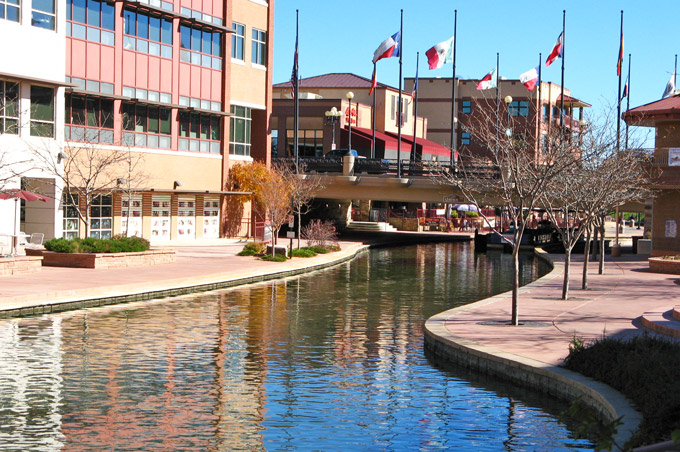
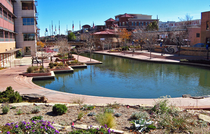
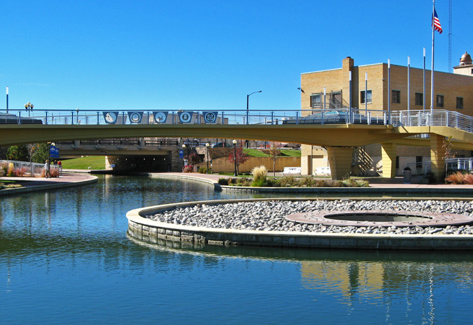
Prior to biking along the Arkansas River, we took a different trail into town to see Pueblo’s Riverwalk. It is well done, indeed:
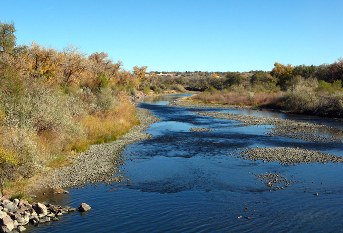
This photo of the Arkansas River was taken from a bridge before we rode upstream. That section was a flood control channel and not particularly charming --- although, admittedly, some of the graffiti showed promise.
