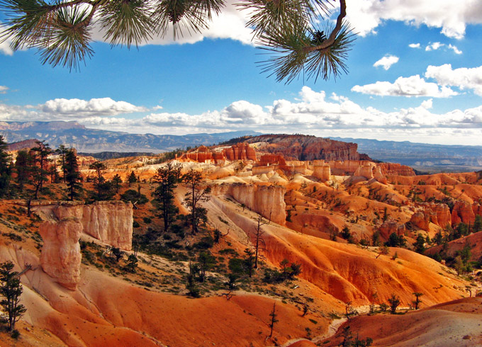
Bryce Canyon
-
Before driving to Bryce Canyon, we detoured westward from US Hwy 89, climbing to Cedar Breaks National Monument. The spectacular formations here are similar to those at Bryce though this park is much smaller:
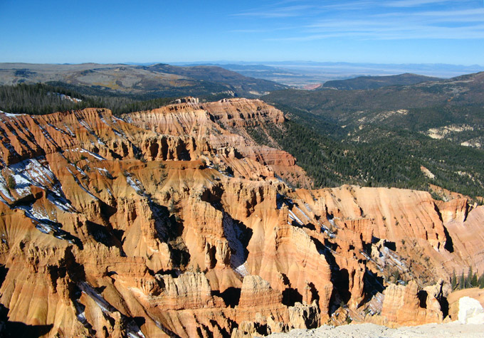
Hiking along the cliff tops can be most enjoyable in nice weather. Since these are at 10,000 ft elevation it is usually cool even in summer.
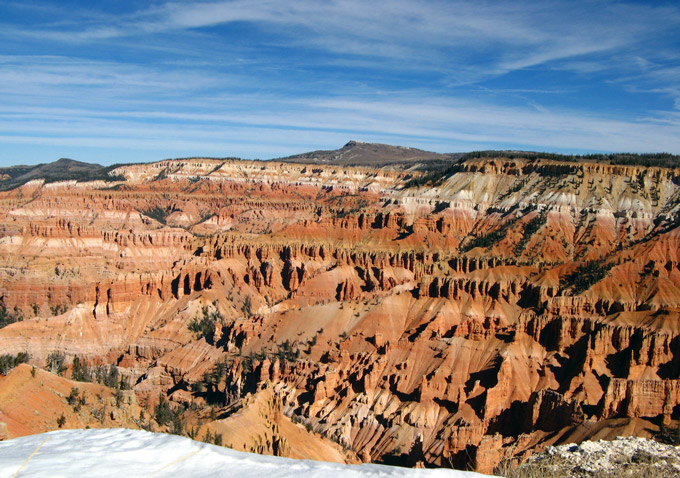
Cedar Breaks’ odd-sounding name comes from a case of mistaken identity. Pioneers often called badlands “breaks” but thought the local juniper trees were cedars. Had they known their trees better, this pretty amphitheater might have been labeled “Juniper Badlands”.
After lunch in the town of Panguitch, we finally got serious about seeing Bryce. Just a few miles from the entrance, however, the unexpected sight of Red Canyon brought us to a halt again:
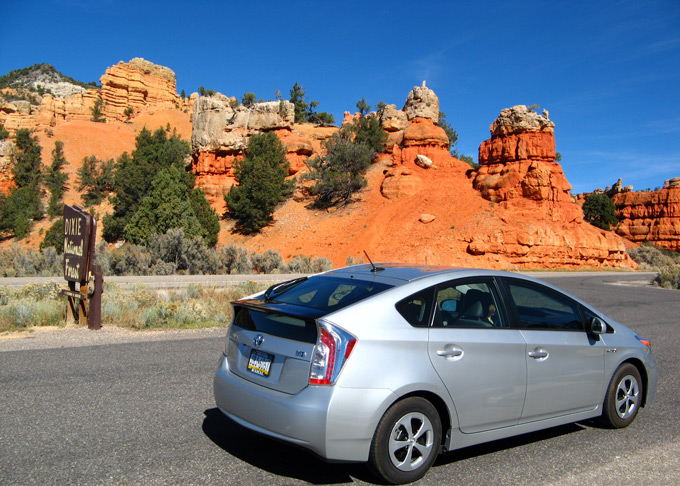
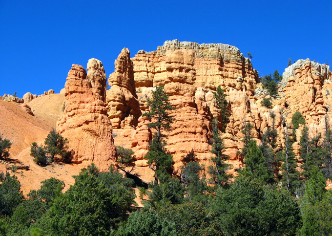
These beautiful formations, right beside the road, might just as well be screaming to passersby, “Explore me! Explore me!” Having hiked in Bryce Canyon, we can say with confidence that getting close to these hoodoos is far easier than approaching the ones in Bryce.
Before the day was out, we finally stood in awe of Bryce Canyon:
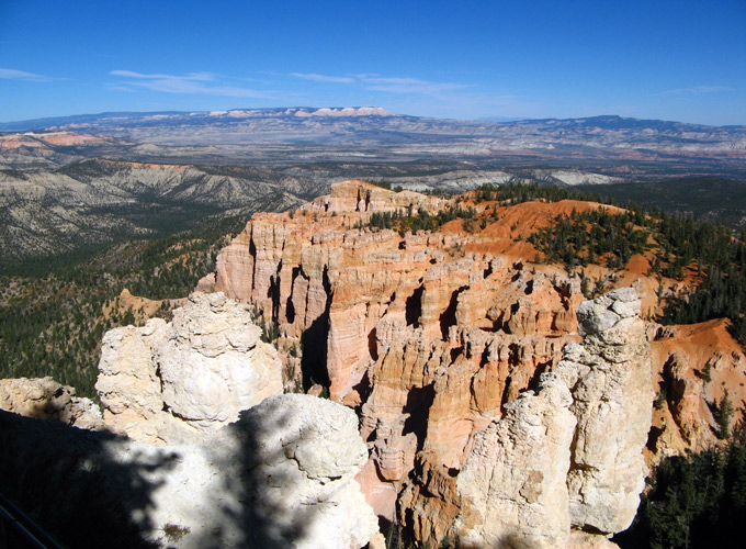
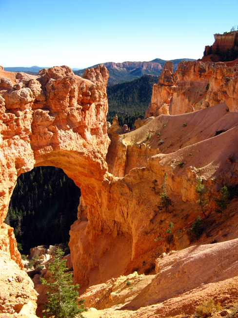
There are numerous viewpoints strung out over 20 miles of road. By staying nearby, we saved many of them for the next day.
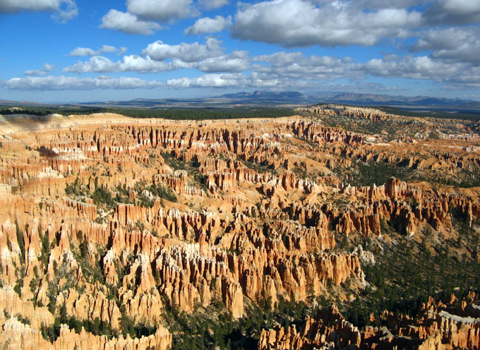
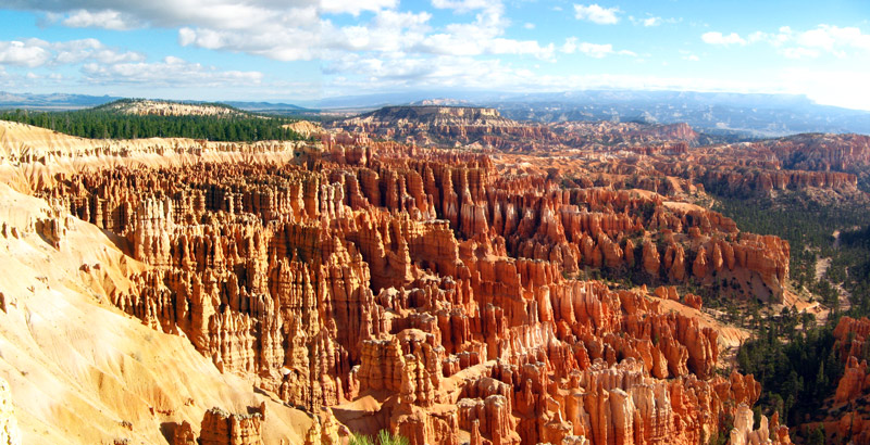
A memorable part of our visit was a hike to Queens Garden. This is the trailhead --- yes, all downhill going, uphill on the return:
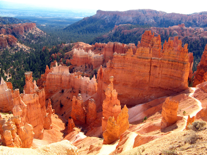
It is the least difficult trail into the canyon, though, and we certainly felt the experience was worth the effort. Here are scenes on the way down:
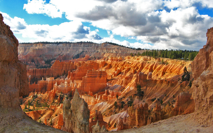
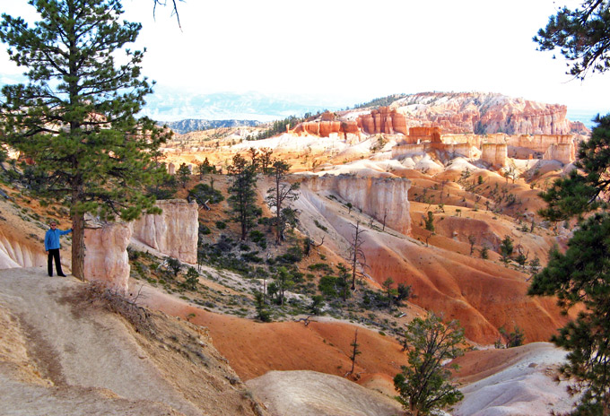
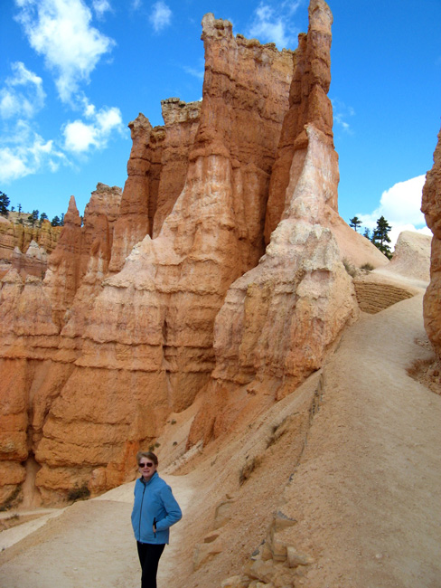
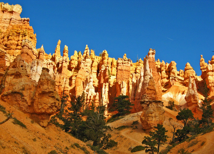
Eventually, we arrived in the Garden, an excellent vantage point for gazing at the incredible likeness of Queen Victoria carved secretly at night by National Park Rangers. Well, it IS hard to believe that nature alone carved this spectacle!
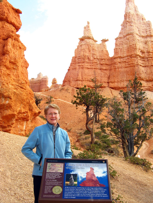
With no tea in sight and none expected soon, we headed back uphill. Being forced to take breaks along the way had its advantages: with eyes off the trail, more time to admire the magnificent scenery!
