To go Back at any time,
use Browser's "Previous Page"
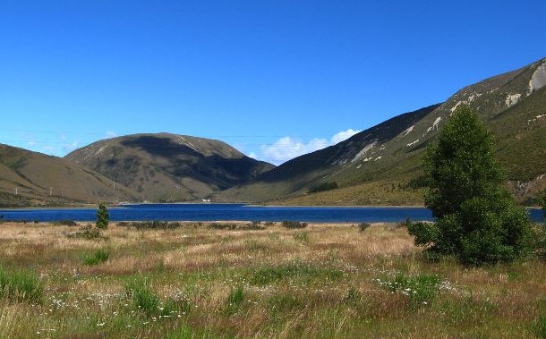
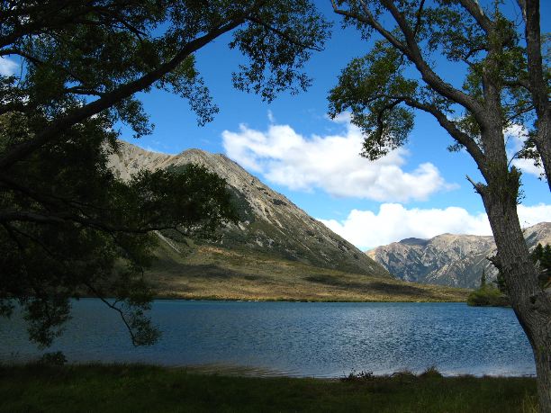
Finally on four wheels, we departed Christchurch and aimed our car west across Arthur’s Pass. Bright blue skies and equally blue lakes greeted us as we left behind the flatland farms of the Canterbury Plain:
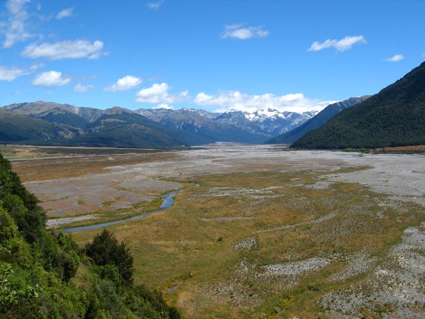
The pass is mountainous, scenic and sparsely settled as it lies in a National Park:
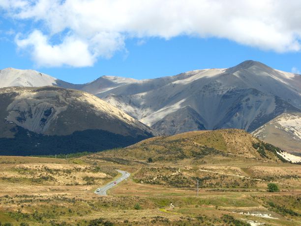
It was on this highway that we had our first glimpse of the Southern Alps:
The view overlooking the Otira Gorge viaduct is well worth a stop:
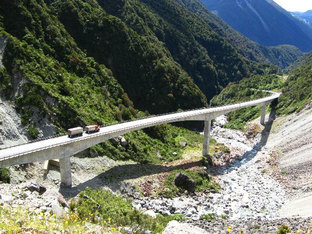
Before this spectacular bridge was built, the highway descended into the gorge and was subject to frequent closures from floods and avalanche.
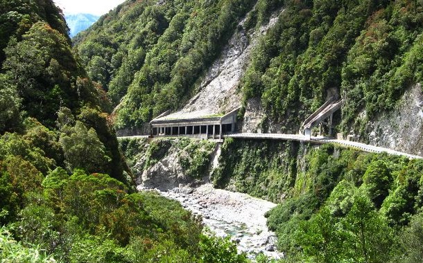
Nearby, the highway needs special protection:
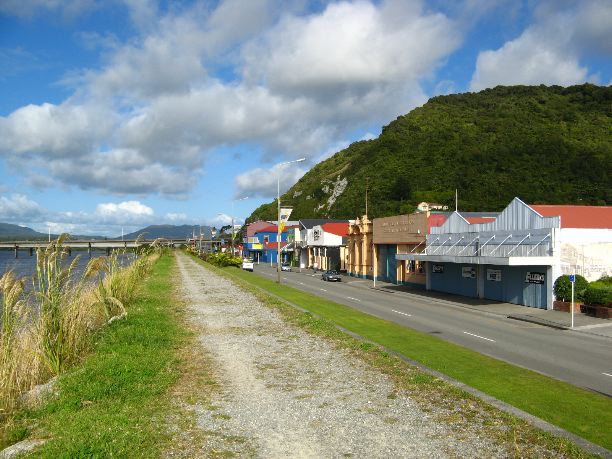
Once across Arthur’s Pass, the terrain becomes almost sub-tropical and a bit reminiscent of Hawaii. Due to the higher rainfall on the west coast, vegetation is plentiful, a marked contrast to the east side of the island. At our overnight stop in Greymouth we enjoyed a long walk on the “Great Wall”, a dike built to protect the town from flooding:
Here we first noticed that pampas grass seems to thrive on the South Island.
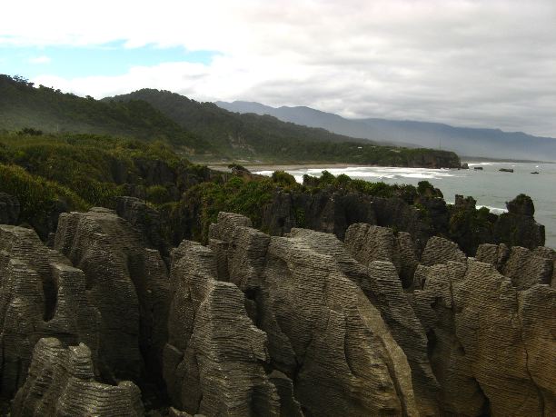
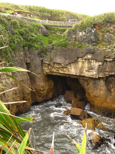
Greymouth was convenient for a morning drive north to the Pancake Rocks before heading south along the coast. These unusual limestone formations are at Punakaiki and are accessible on a smooth, paved trail. Here’s a first glimpse of the rocks, partially hidden behind an immovable tourist:
A better view of the Pancake Rocks is shown below:
The walking path circles around this cavernous hole created by waves surging under the arch on the far side:
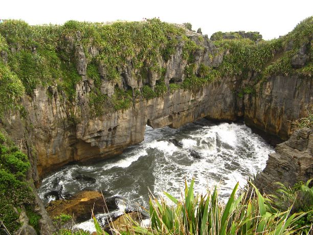
From atop the arch, a worrisome look back reveals some recently fallen rocks:
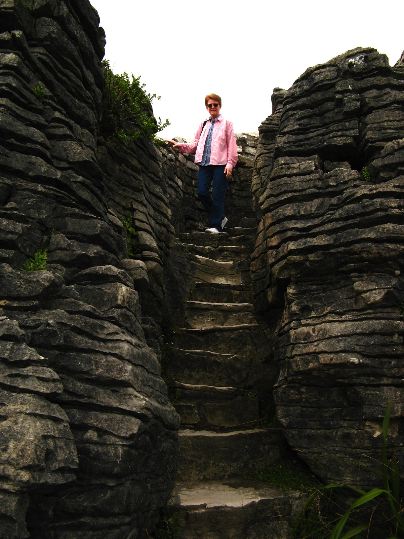
If you’re asking why they’re called “Pancake Rocks”, you must have your eyes closed:
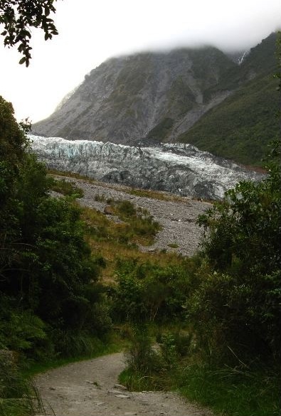
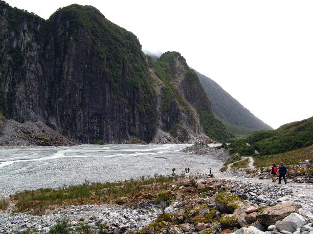
Leaving Punakaiki, we returned to Greymouth and continued south. We stopped for the night at the village of Fox Glacier with ample time for a ramble to the face of the glacier before dark:
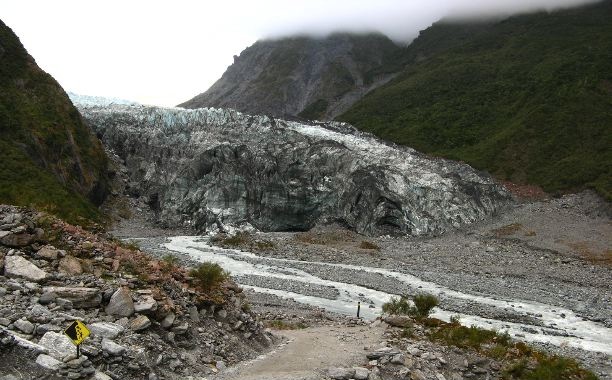
This is as far as walkers are allowed to go unless they join an organized ice climb:
Note the glacier melt water emerging from the dark cavern at the center right.
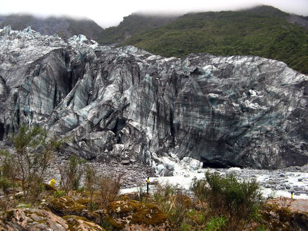
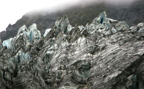
The face of the glacier is remarkably jagged and loaded with dirt carried down the mountain:
Bucking trends elsewhere, the Fox Glacier has advanced 1/2 mile in the past 10 years.
We had an excellent view of the canyon carved by this glacier as we retraced our steps:
Pushing further south next day, we stopped to see this beautiful cove at Knights Point:
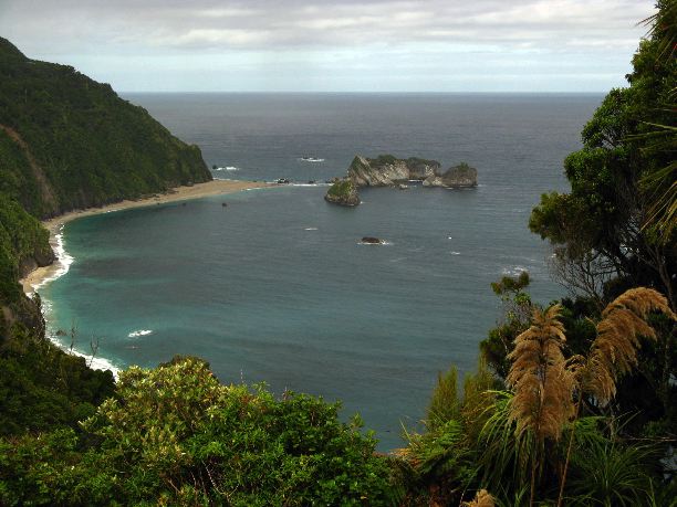
The so-called Haast highway begins just past this spot. This road, opened only in 1965, allows the driver to re-cross the mountains without returning north to Greymouth.