Patty’s daughter, Jennifer, and her husband, Louay, work at the U.S. Embassy in Bishkek, the capital of Kyrgyzstan. It was time for a family reunion --- before their two children forgot what their grandmother looked like or the family was assigned to someplace even more remote. This is the same adventuresome couple we visited 3 years earlier during their assignment in Mali (In and Out of Africa). Having returned safely from that journey, we figured it can’t be any more difficult to travel to two former Soviet Republics. And, it wasn’t.
However, it IS a long trek from the east coast of the USA to Bishkek. A convenient and pleasant stopover point, in both directions, is Barcelona in Catalunya, Spain --- so much so, that we spent half the trip there! Most Americans --- even non-travelers --- are quite familiar with Barcelona and know that “tapas” are appetizers or snacks in Spanish cuisine. Kyrgyzstan and Uzbekistan, on the other hand, are mostly unknown, as is their popular meat and vegetable dish called “plov.” Our visit to these two young countries was eye-opening to us; we hope this photo-journal will be a revelation to you, as well.
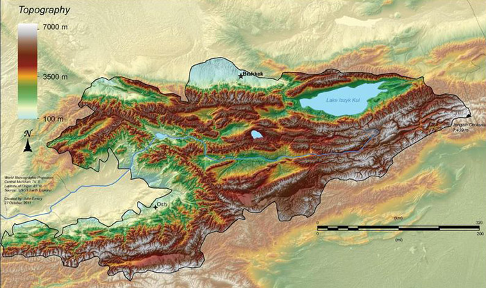
These two neighboring countries have been independent of the Soviet Union for the same 22 years. They are both land-locked but have significant differences --- in large part because of topography. As can be seen in the topographic map of Kyrgyzstan below, the country is dominated by mountains:
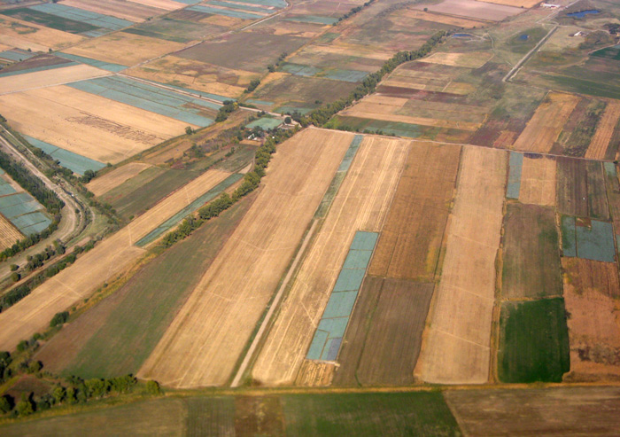
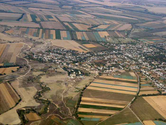
The agricultural environment in the neighborhood of Bishkek can be appreciated with these photos taken as we left the airport, about 20 miles from town:
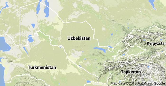
In contrast, Uzbekistan is almost devoid of mountains and has, instead, vast desert areas and little rainfall. Just 10% of its territory is cultivated and that mostly by irrigation. Its topo map is almost boring:
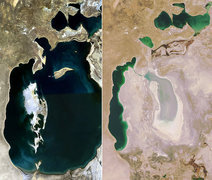
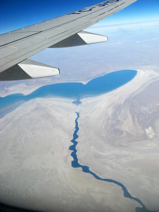
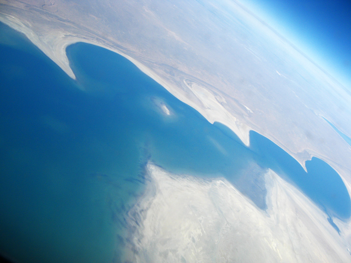
Below are several photos showing the Aral Sea. The first is from Wikipedia, comparing the Aral Sea in 1989 (when it was already down 10%) and in 2008:
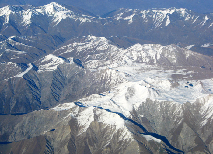
Later in this mid-October flight, we were surprised to see snow-capped peaks below:
